Log in
All resources
Create a design
120 Free Artworks of Drawn Map
maps in the library of congress
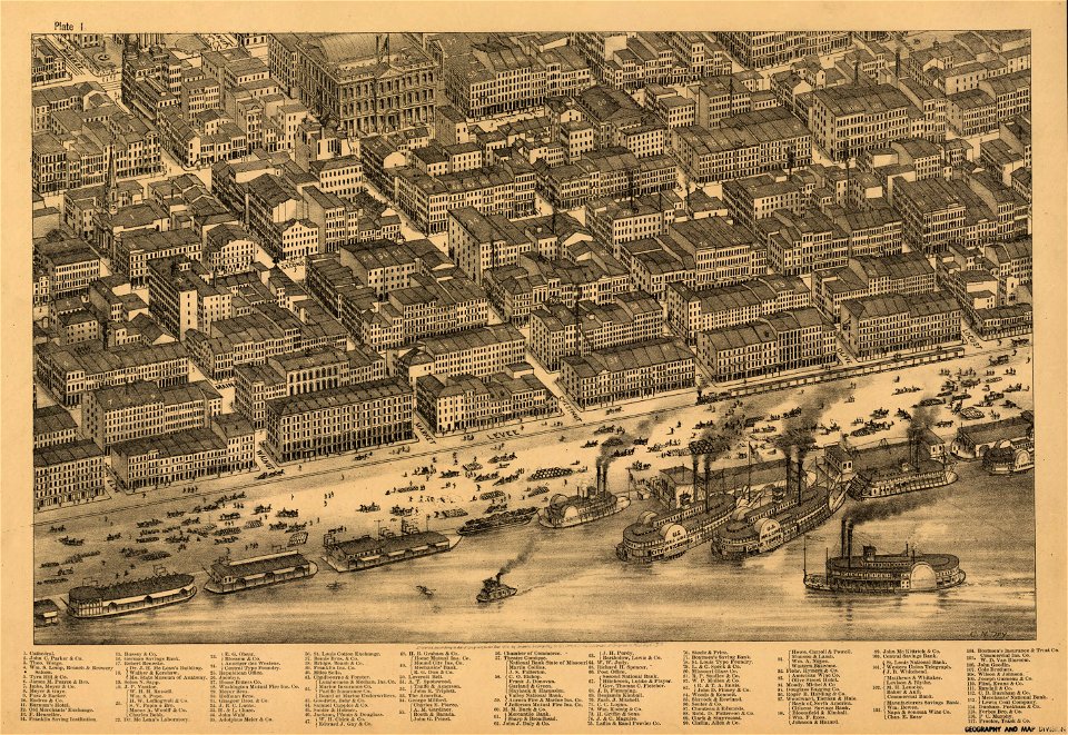
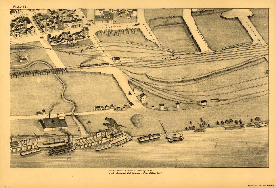
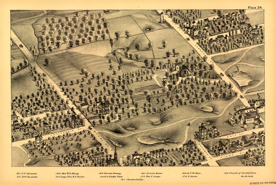
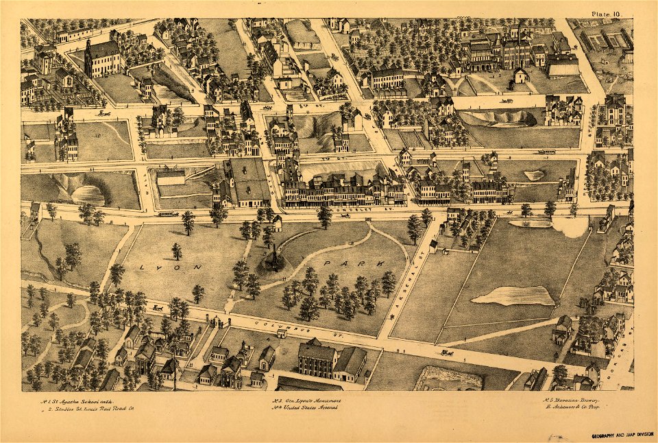
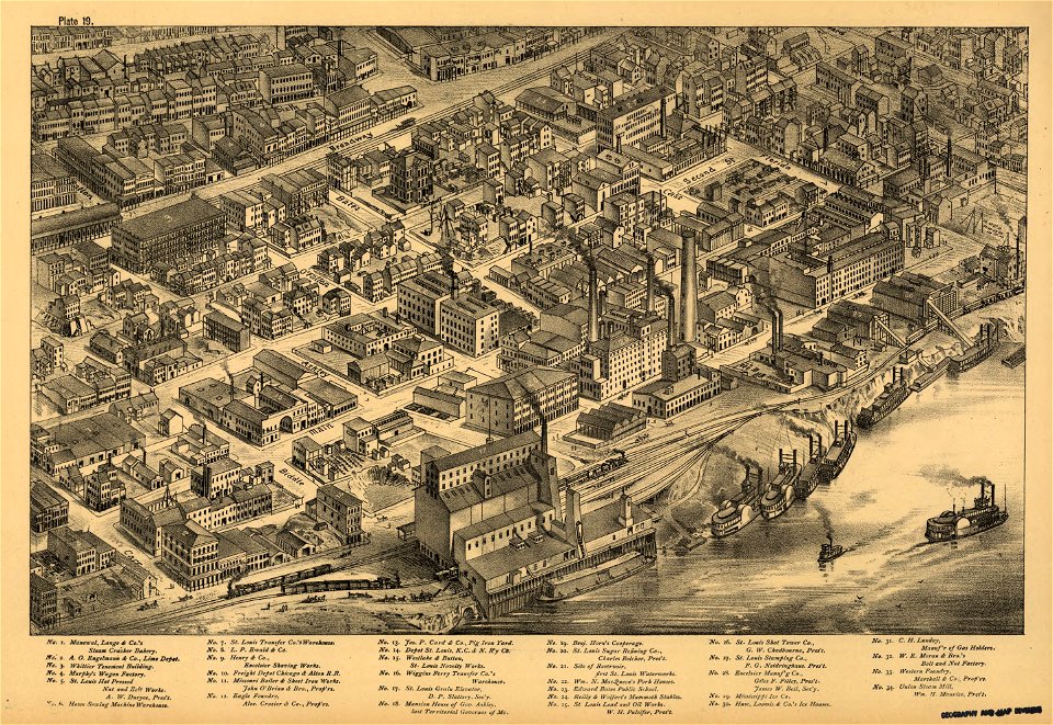
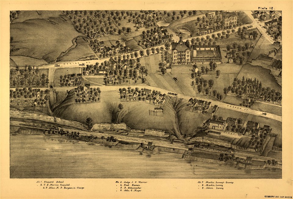
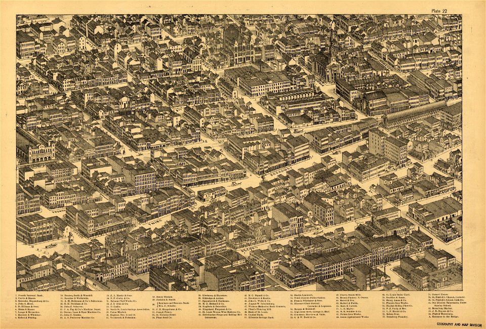
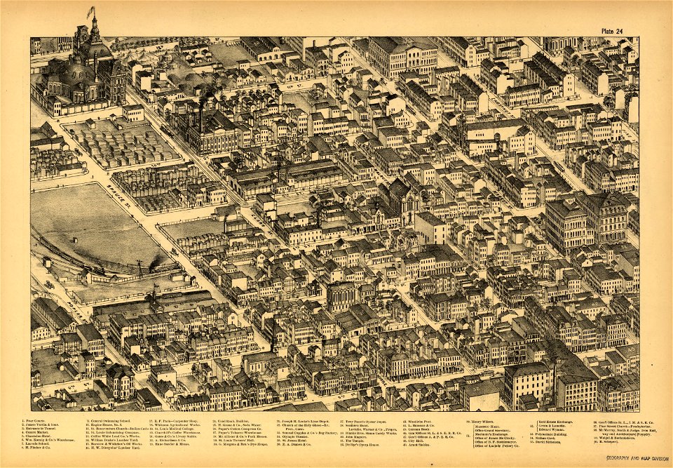
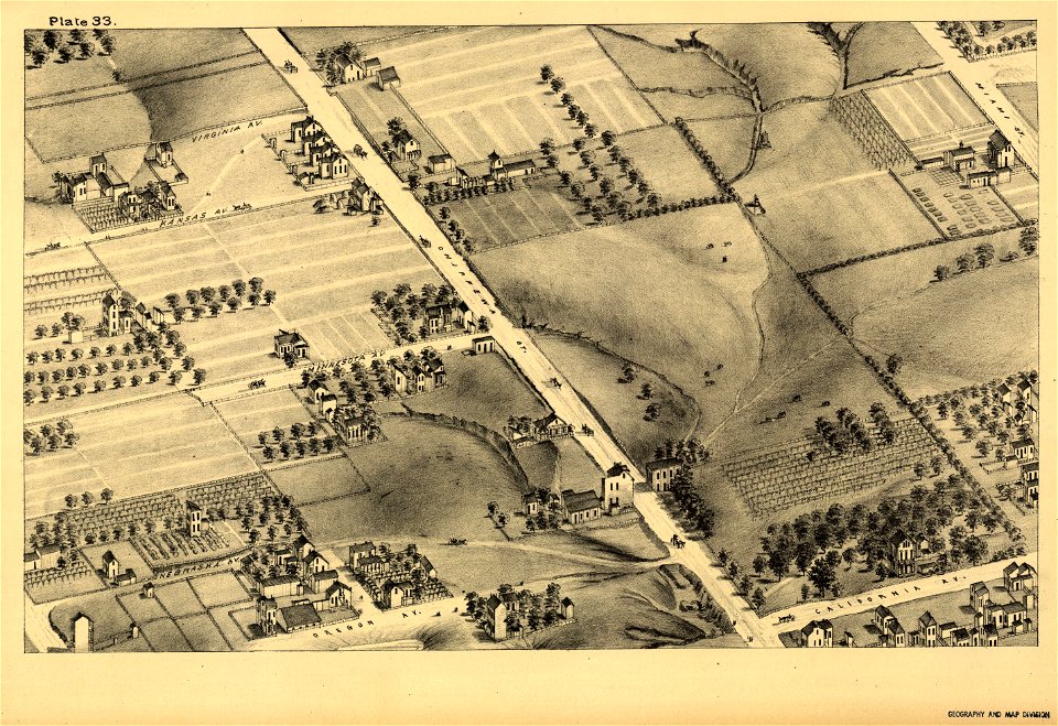
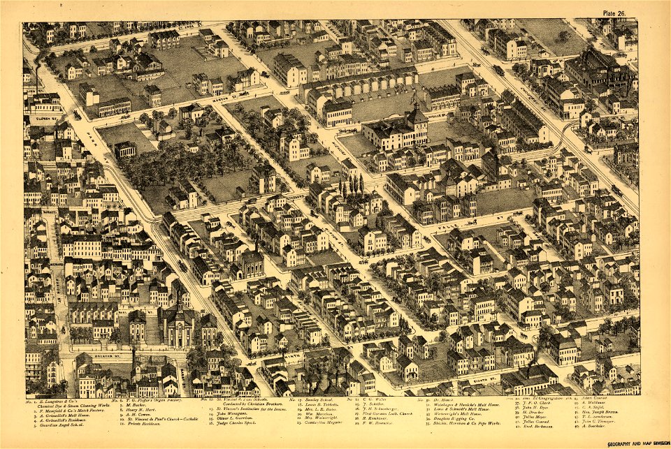
pictorial st. louis
the great metropolis of the mississippi valley; a topographical survey drawn in perspective a.d. 1875
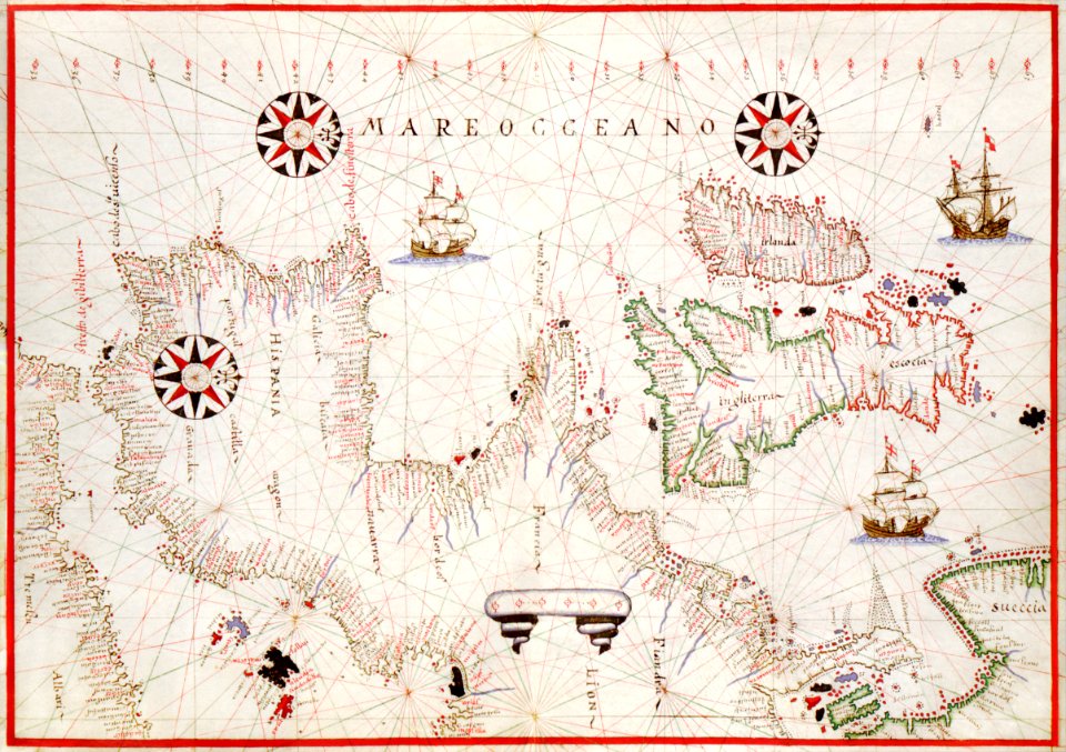
1626 maps
charts and maps of the royal museums greenwich
maps
vintage maps
1500s
1500s public domain
maps in the library of congress
pictorial st. louis
maps in the library of congress
pictorial st. louis
maps in the library of congress
pictorial st. louis
maps in the library of congress
pictorial st. louis
maps in the library of congress
pictorial st. louis
maps in the library of congress
pictorial st. louis
maps in the library of congress
pictorial st. louis
maps in the library of congress
pictorial st. louis
maps in the library of congress
pictorial st. louis
maps in the library of congress
pictorial st. louis
maps in the library of congress
pictorial st. louis
1872 engravings
wood engraving
charts and maps of the royal museums greenwich
1626 maps
charts and maps of the royal museums greenwich
1626 maps
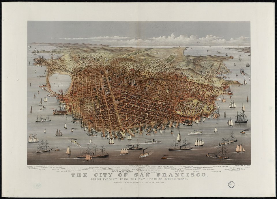
bird's eye view maps of california
vintage
maps
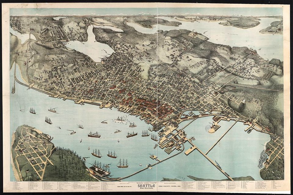
lithographs of cities in the united states
1891 in seattle
historical images of ocean grove
new jersey
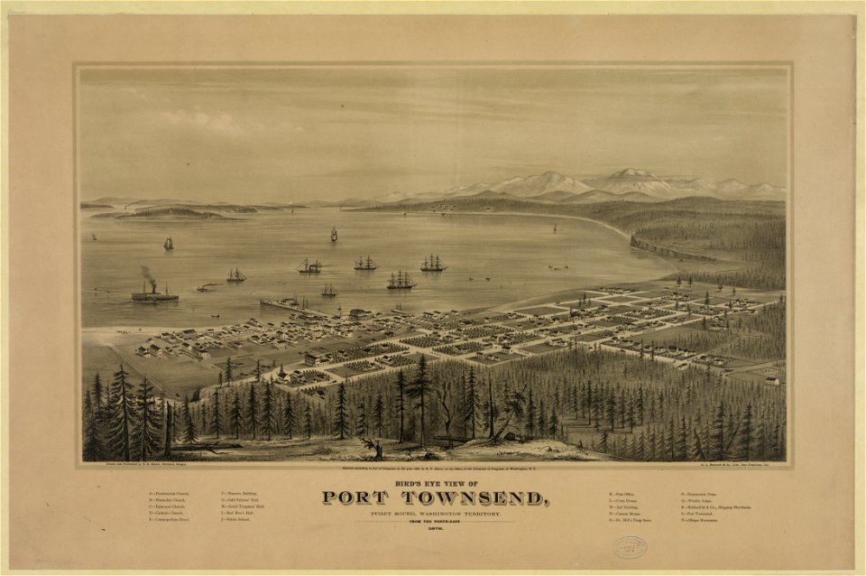
port townsend
washington
medieval
maps
101 - 120 of 120
/ 2